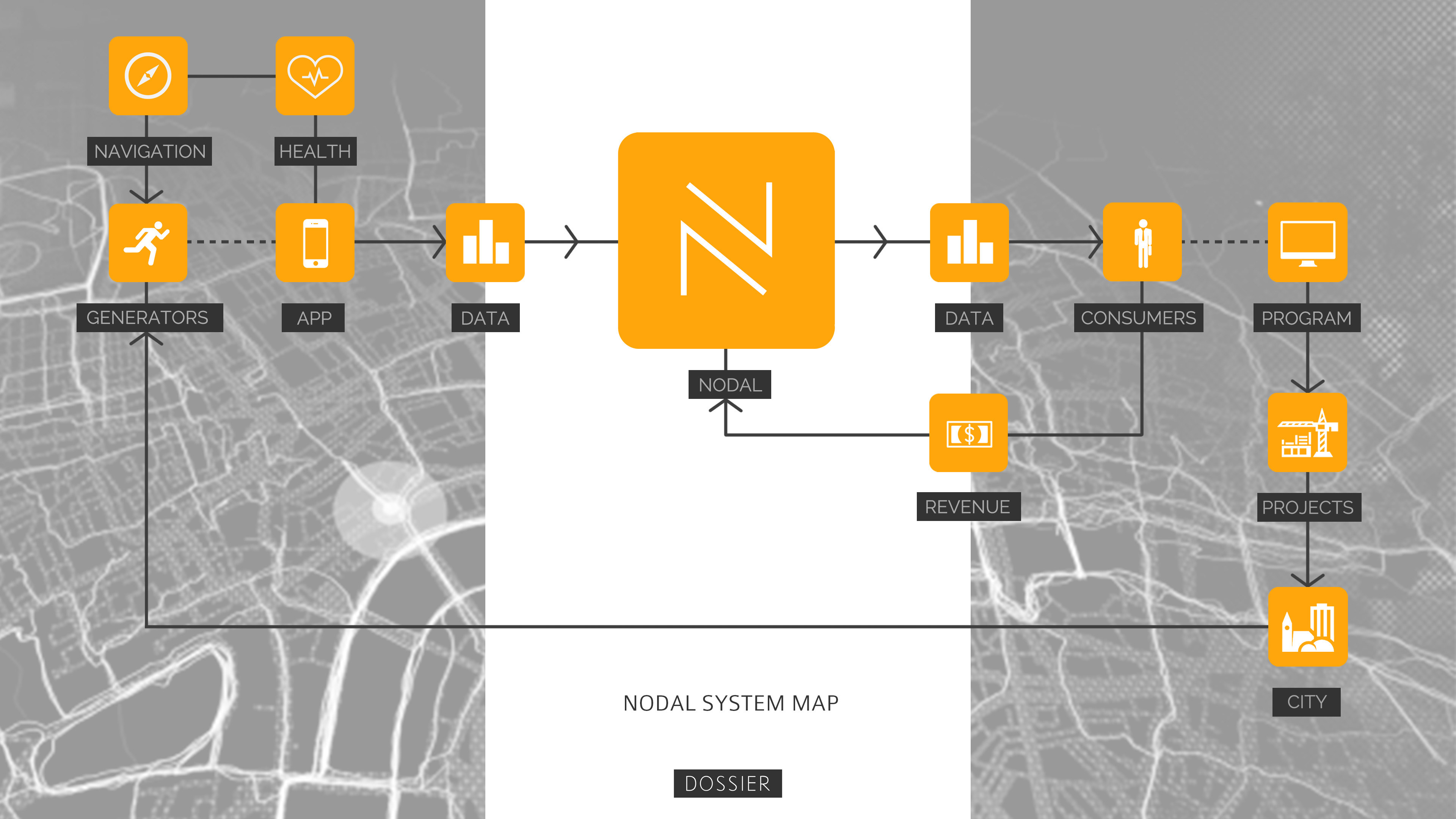
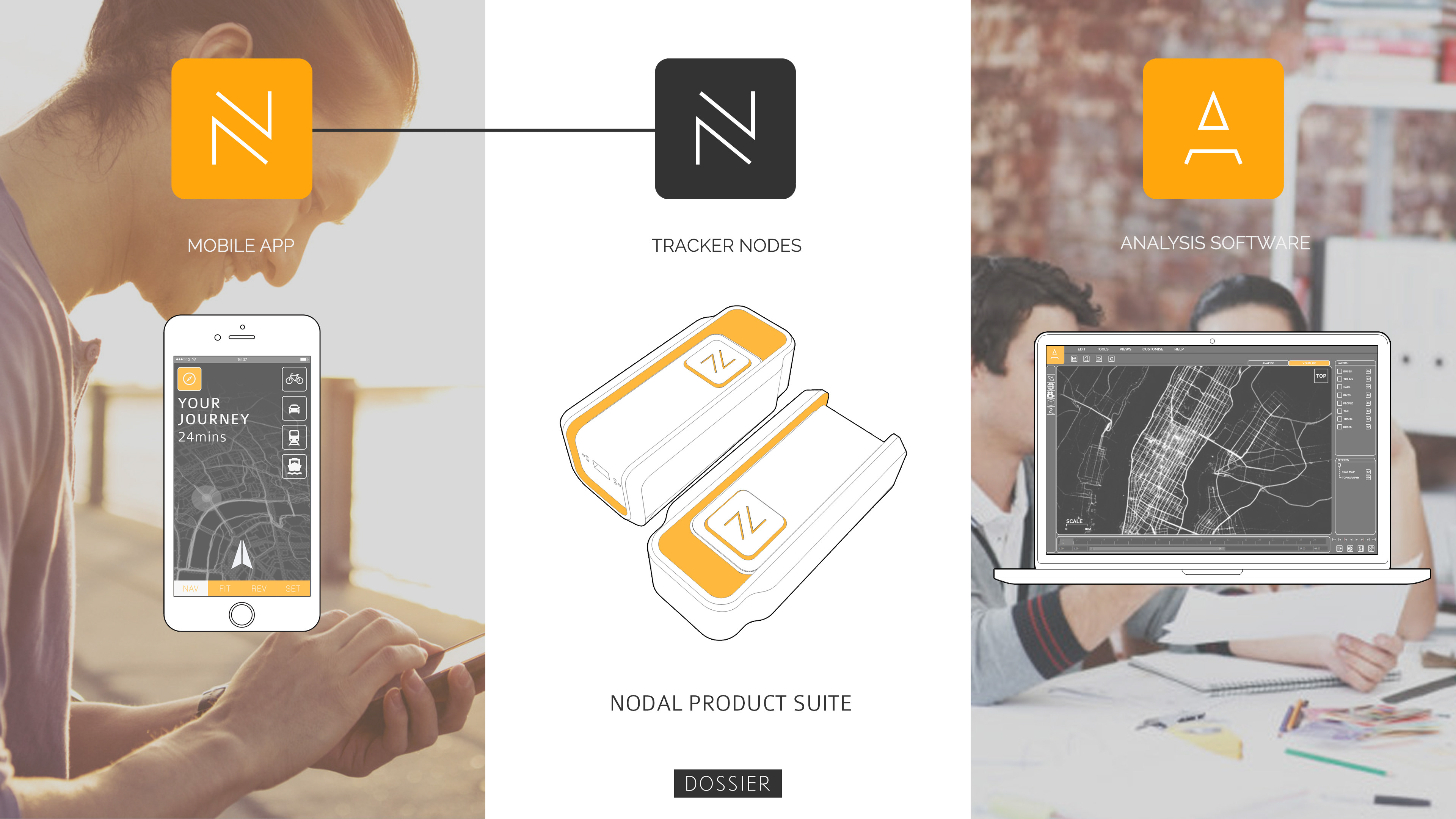
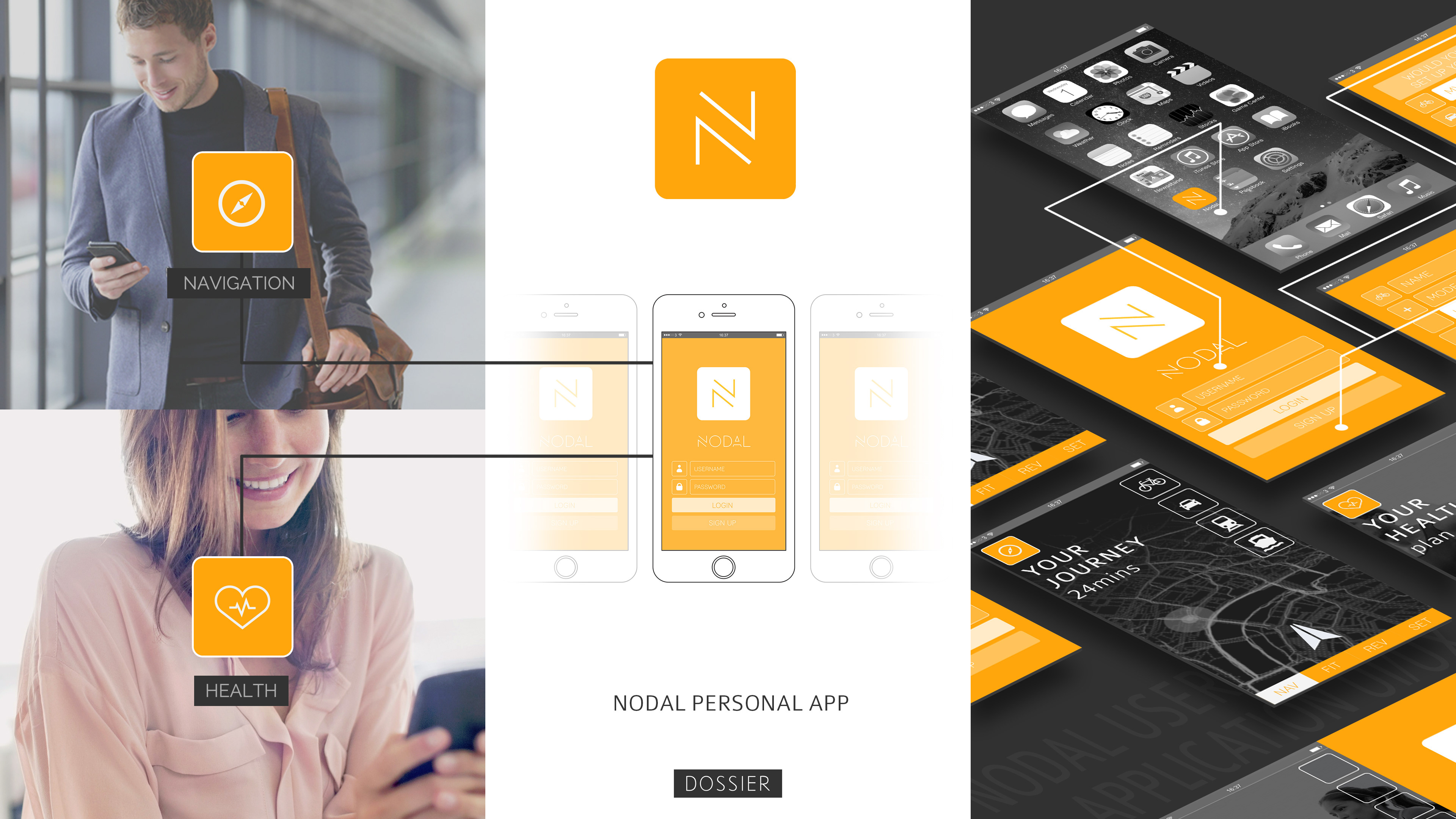
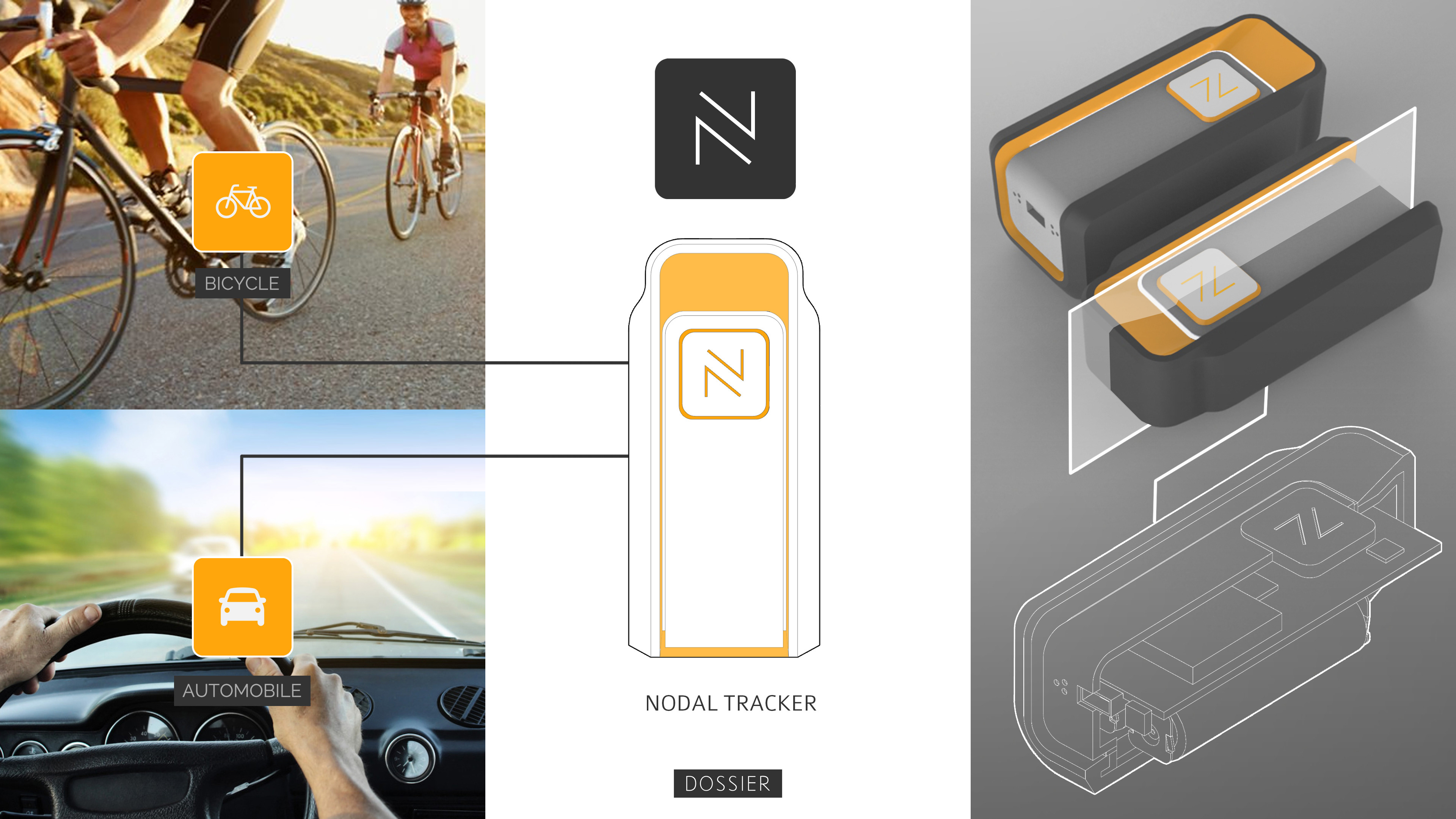
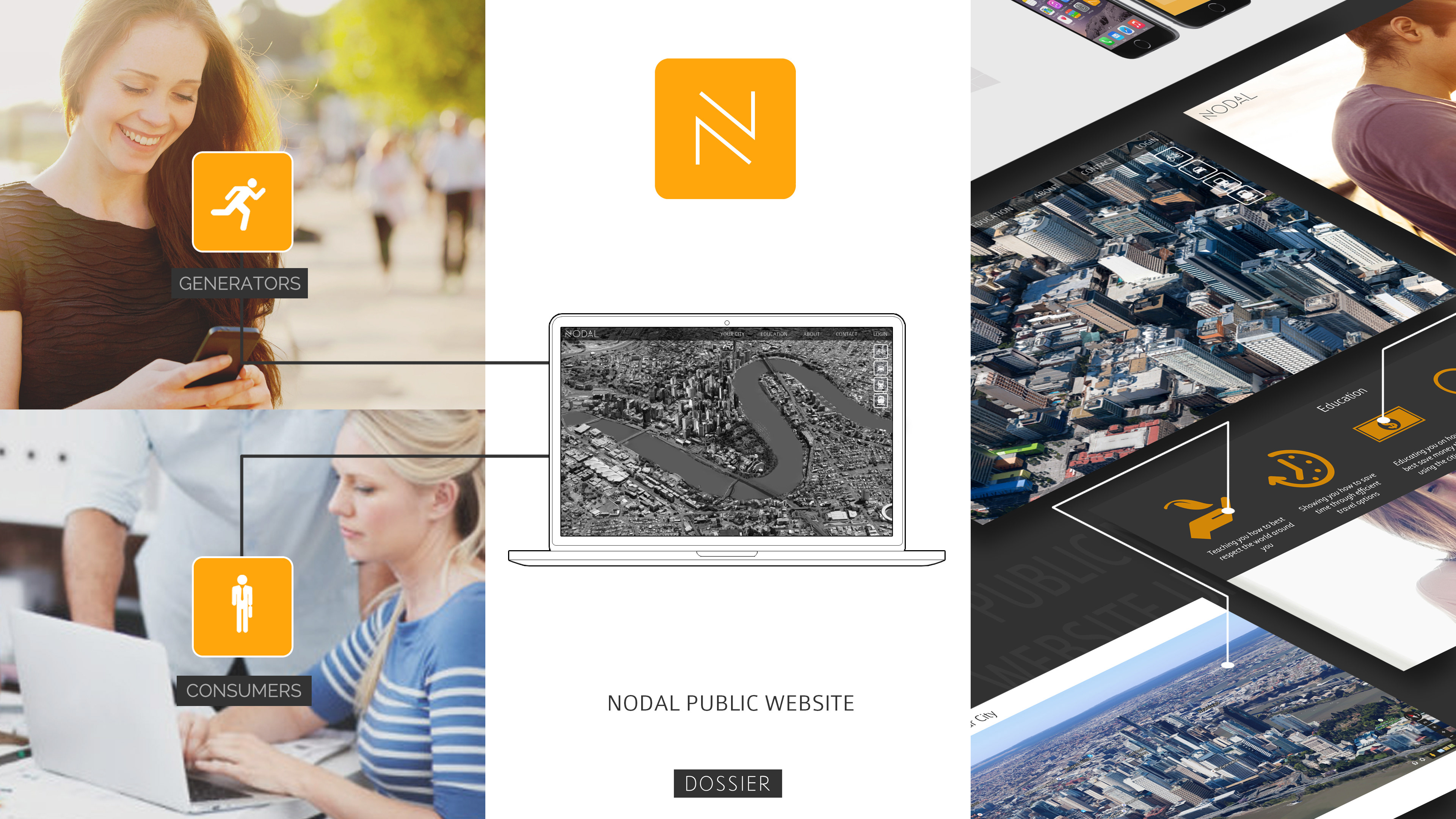
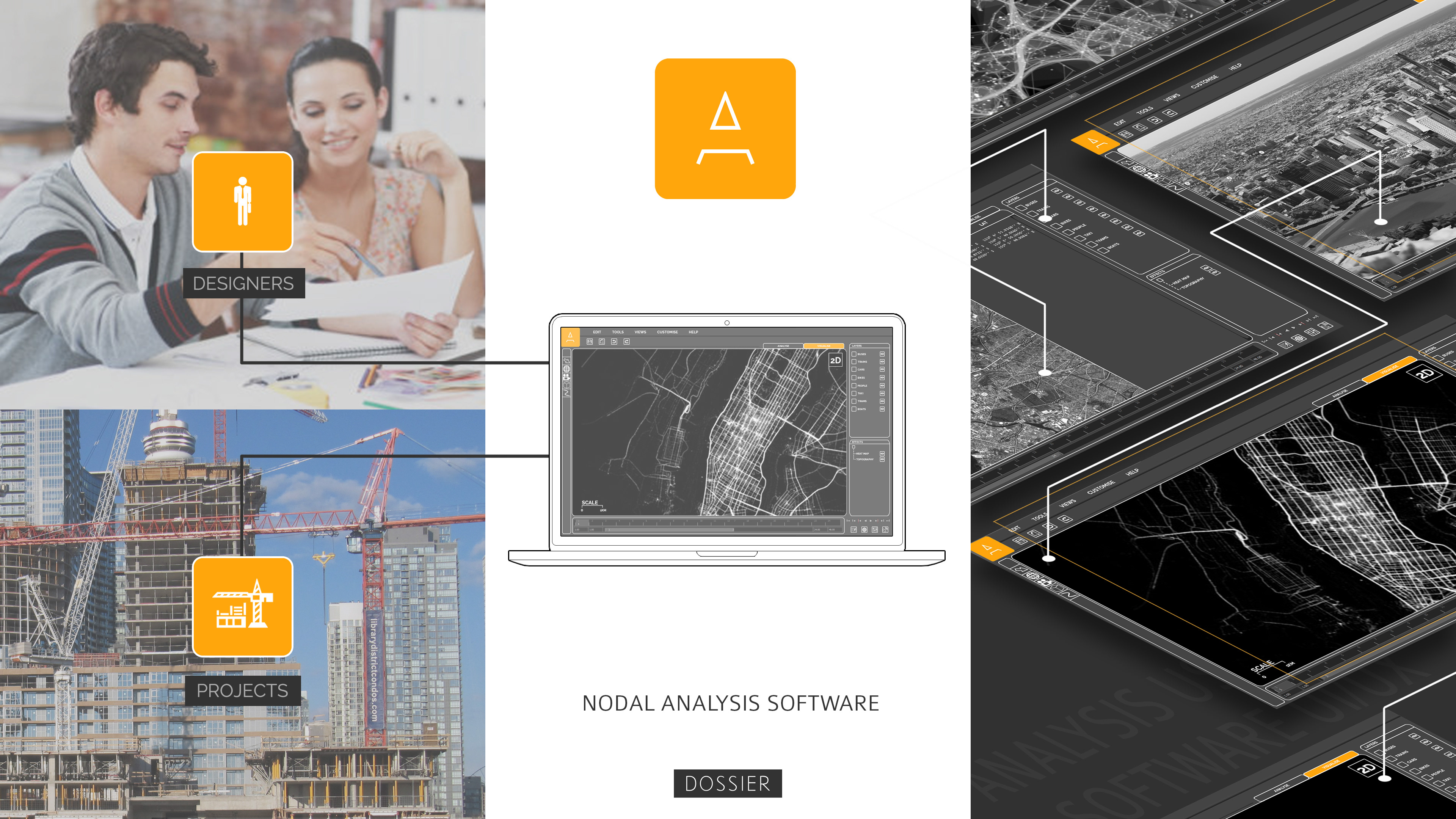
Nodal - GPS Data for Urban Planning
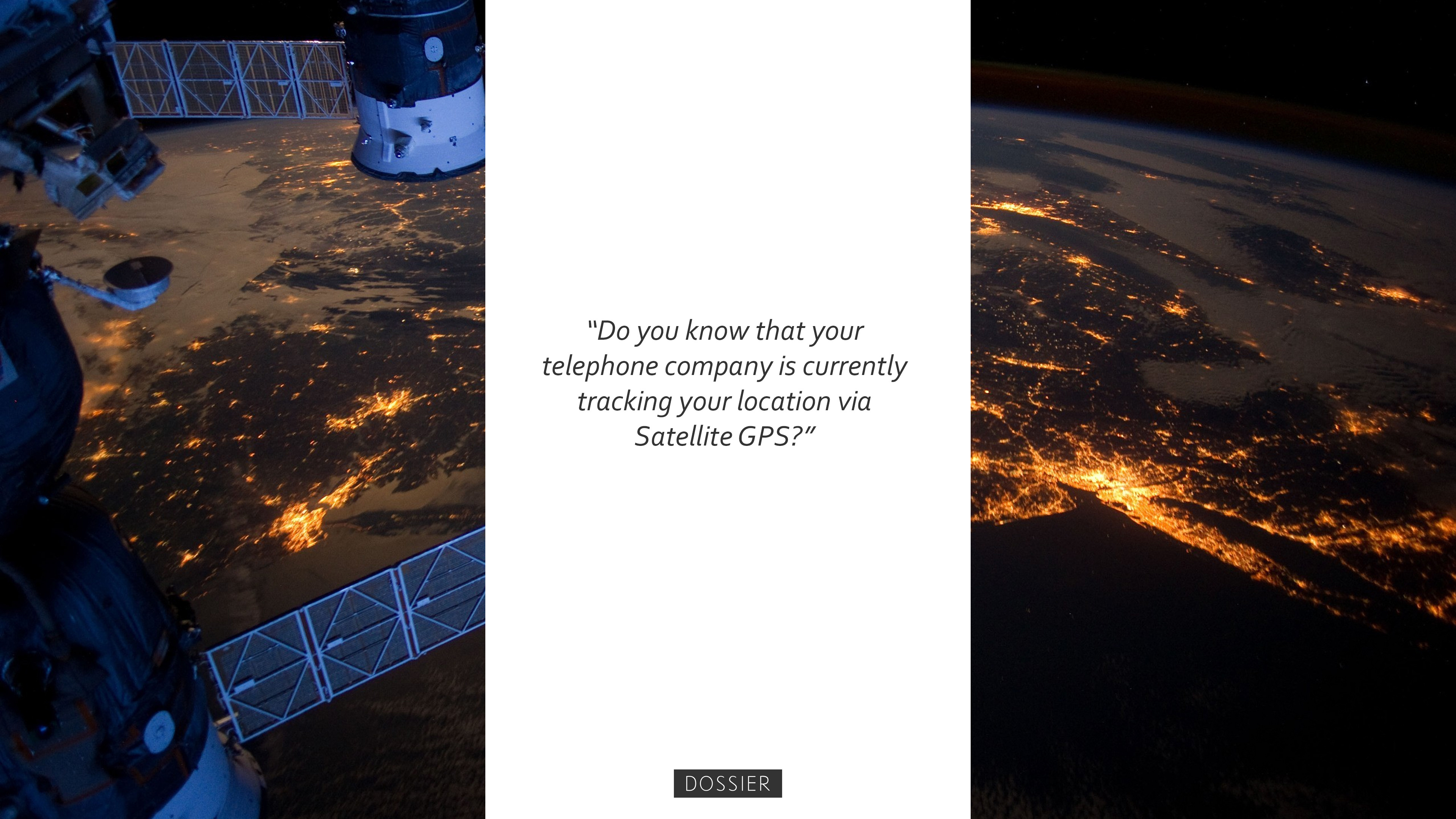
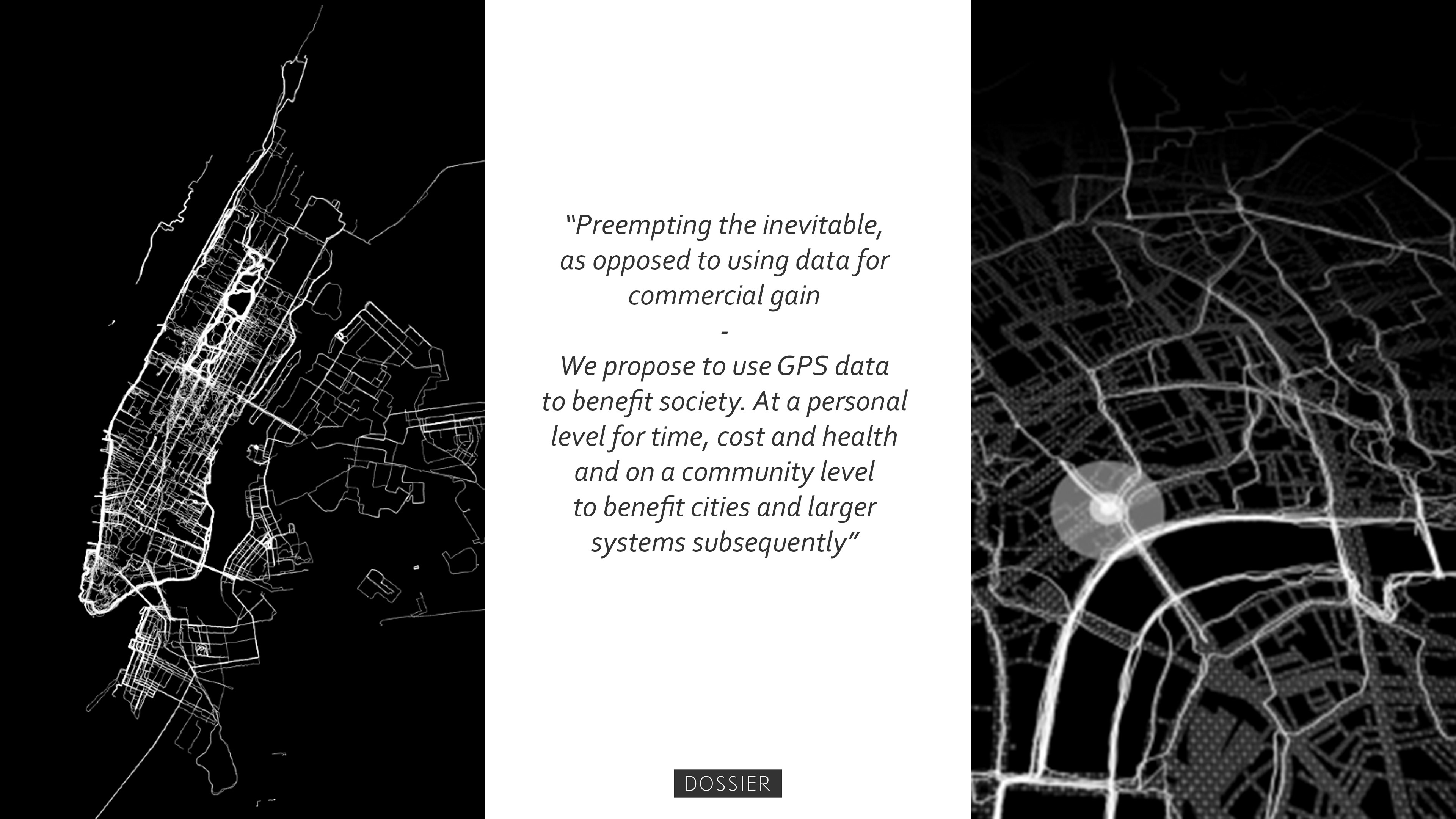
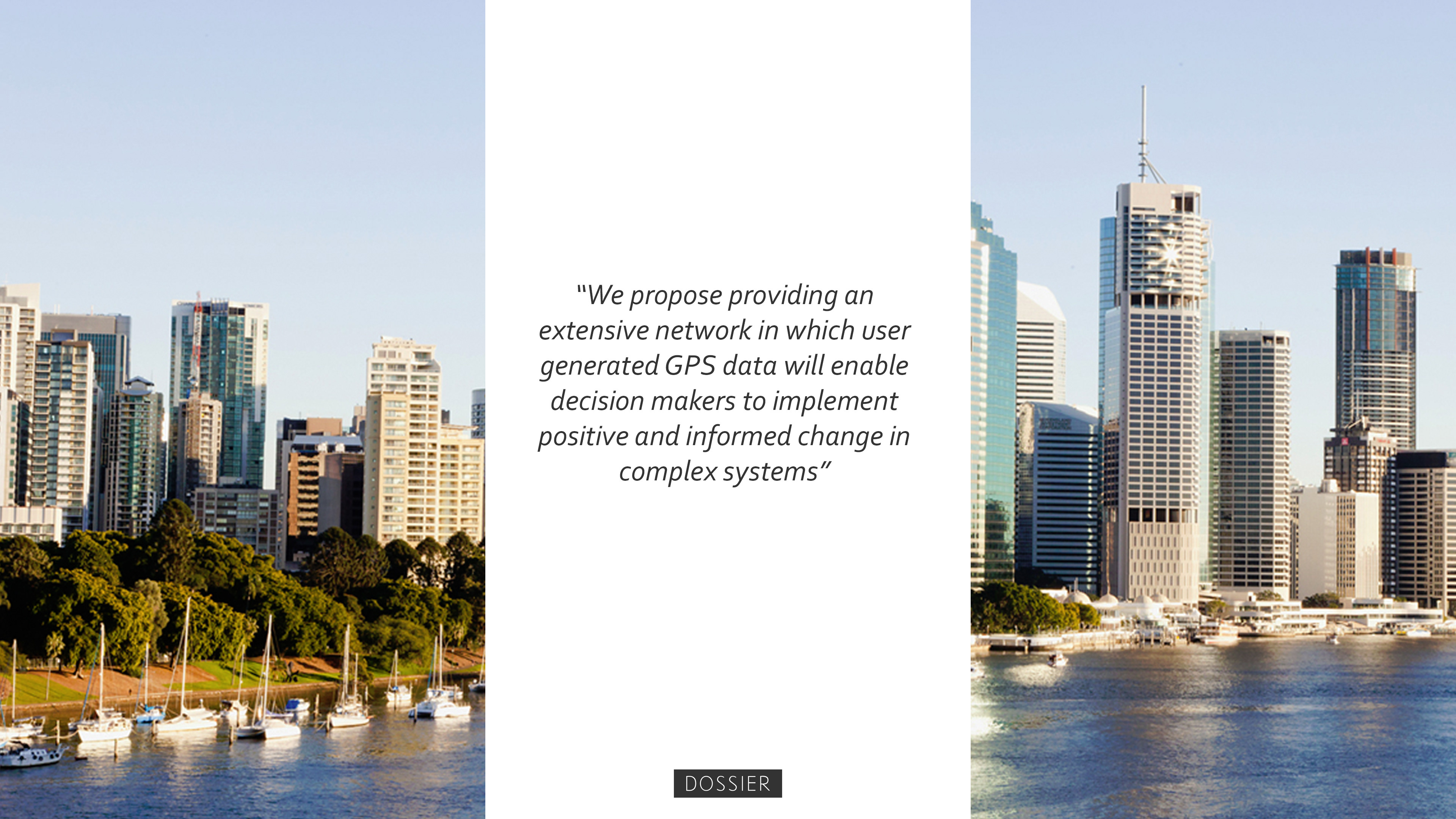
Nodal is a disruptive system of products that seeks to use phone GPS data for Urban Planning as to inevitably improve cities and existing infrastructure. With this product suite we propose to encourage behavioural change on a user level whilst collecting important information about cities to better design for the future. We live and operate in ever expansive and complex systems, having access to anonymous user location data can better inform planners and designers in positions of change. Specific sites can be assessed over time, through layers of relevant user information, designers can be informed, and the implementation of infrastructure can be monitored and improved in an adaptive systemic manner.


STREAM Visual Development
2016
Sketchup Modelling
2014
Robotic Arm Overlay
2016
Visual Development PORTFOLIO 2016
2016
Place Making - Brisbane Idea Pavilion
2014
AURA - Memory Capture for VR (Concept Presentation)
2015
Digital Techniques for Product Design
2016
Iconography / Language Design
2014
Notebook Sketches
2014
Model Making Collection
2015